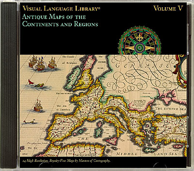
24 lavishly decorated antique maps of Europe, Asia, Africa and the Americas. Scenic vignettes and cartouches embellish many of these maps from such masters of cartography as Mercator, Hondius, Ortelius, Blaeu and Speed. High resolution images are 30MB RGB TIFF. Images are provided in three (high, med, and lo) resolutions, all have been drum scanned and expertly enhanced for professional-quality output.
|
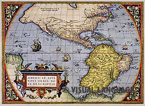
| Folder: America
01 Abraham Ortelius, 1570
02 Matthaüs Merian, 1638
03 Nicholas Sanson, 1680
04 Nicholas de Fer, c. 1705
05 Willian Delisle, 1707
06 Henri Chatelain, 1719
07 Pieter van de Aa, c. 1700-1730
08 Willian Delisle, 1730
09 Cook's Geography, c. 1817
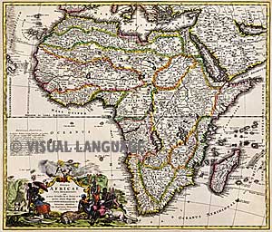
Folder: Africa
16 Willem Blaeu, c. 1630
17 Peter Heylin, 1669
18 Johann Baptist Homann, 1707
|
|
Folder: Asia
10 Abraham Ortelius, 1590
11 Gerhard Mercator, 1595
12 Abraham Ortelius, 1612
13 Willem Blaeu, 1630
14 Jan Janson, c. 1650
15 Johann Baptist Homann, 1707
Folder: Europe
19 Abraham Ortelius, 1595
20 Jodocus Hondius, c. 1610
21 Willem Blaeu, 1631
22 John Speed, 1676
23 William Delisle, 1739
24 Emmanuel Bowen, c. 1766
|